

National Atlas of Belarus will be available in an interactive version

27.09.2024
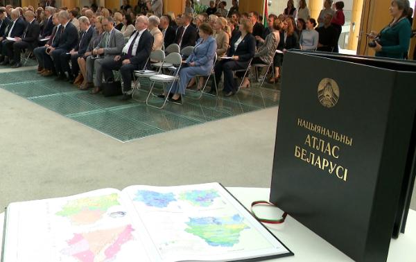
An interactive National Atlas will appear in Belarus next year. It will be the first of its kind in the country. The day before, its printed version was presented. The collection has 20 sections, 348 pages and 704 maps and schemes. It provides information about the territory, nature, population, economy and achievements of the country during the 30 years of the presidency. An electronic analogue of the book has also been created. The previous version of the National Atlas of Belarus was published more than 20 years ago.
Share:


